Pulau Sebatik
Inhabited North Kalimantan
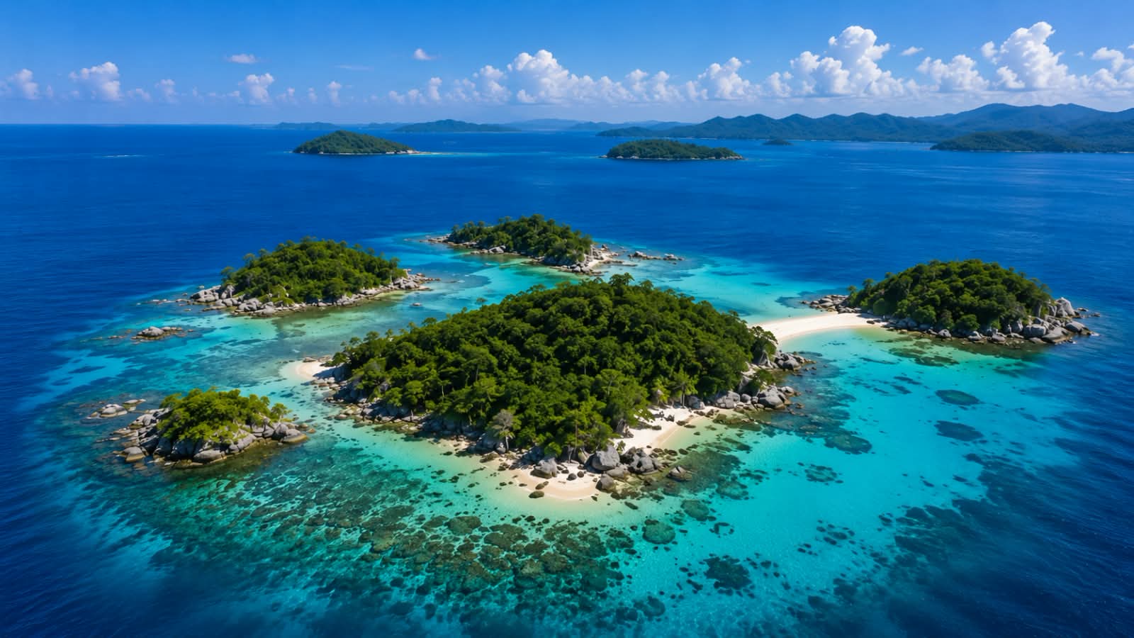
Sebatik Island is located in Nunukan Regency, North Kalimantan Province. It directly borders Tawau, Sabah, Malaysia. It possesses high strategic value as a sovereign state border gateway with immense potential across marine tourism, fisheries, and cross-border commerce.
15.500 Ha Total Area
Inhabited Island Status
Border Zone Category
4°11'12" LU 117°51'36" BT Coordinates
Territorial Waters Zone Area
360° INTERACTIVE
180° N
Sebatik Island is located in Nunukan Regency, North Kalimantan Province. It directly borders Tawau, Sabah, Malaysia. It possesses high strategic value as a sovereign state border gateway with immense potential across marine tourism, fisheries, and cross-border commerce.
Island Name
Pulau Sebatik
Village / Sub-District
4 Desa
Province
North Kalimantan
Total Area
15.500 Ha
District / Regency
Nunukan
Category
Border Zone
Key Information
15.500 Ha Total Area
4 Desa Number of Villages
± 32.850 Total Population
Territorial Waters Zone Area
Tropical Climate
2 – 5 mdpl Elevation
Certified Certificate Status
Flagship Potentials
Island Gallery
View All